Photography that makes me want to pack some camping gear and get lost.
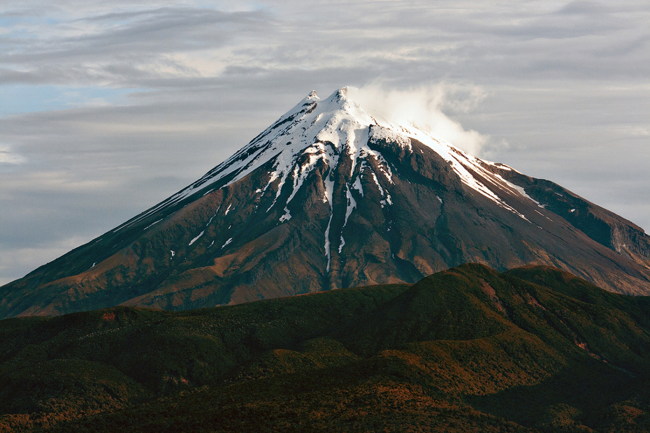 1. Mt. Taranaki
Situated in the region of the same name, on the North Island’s western coast, Taranaki is a 2518m volcanic cone that last erupted in the mid-19th century.
Photo: dcysurfer / Dave Young
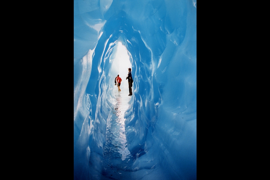 2. Fox Glacier
The South Island’s Westland National Park is home to this glacier and its spectacular ice caves. In 13km, the Fox drops from the peaks of the Southern Alps to rainforest along the coast.
Photo: anoldent
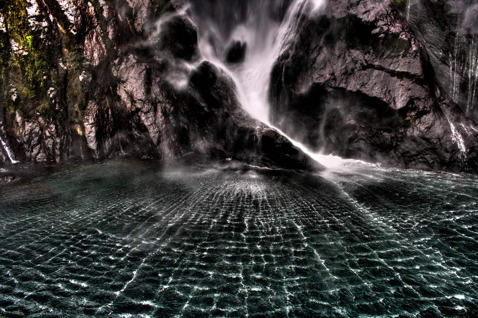
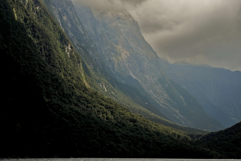 3. Milford Sound
The southwestern coast of the South Island is cut by numerous fjords. Milford Sound is the best known, and is the country’s most popular tourist attraction.
Photo: Adam & Tess
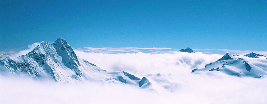 4. Southern Alps
New Zealand’s tallest mountain range contains 20 peaks over 3,000m, the highest being Aoraki/Mt. Cook at 3,750m. It’s a great starter range for mountaineering.
Photo: winkyintheuk
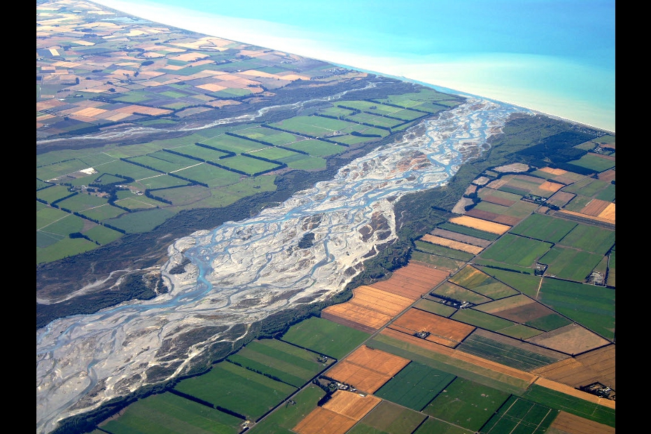 5. Rakaia River
Home to good salmon and trout fishing, the Rakaia deltas into Canterbury Bight, around 50km south of Christchurch.
Photo: C. K. Hartman
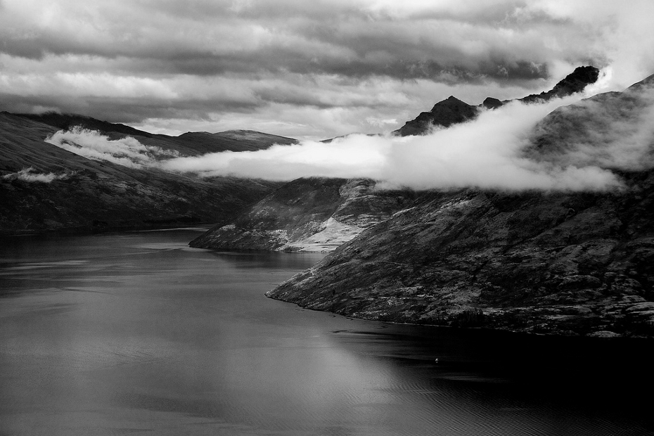 6. Lake Wakatipu
A finger lake shaped like a lightning bolt, the Otago region’s Wakatipu is 80km long and shares a shore with the resort town and adventure tourism capital of Queenstown.
Photo: mcaretaker
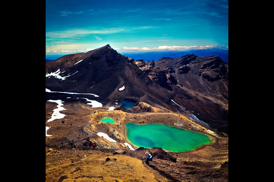 7. Tongariro National Park
The Tongariro Crossing trail runs for 19km through volcanic terrain in the center of the North Island. It passes the base of Mt. Ngauruhoe, known to a lot of the world as Mt. Doom. The national park is the country’s oldest.
Photo: Mister Jo
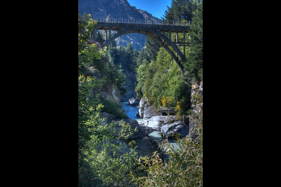 9. Shotover River canyons
Running for 60km through Otago, the Shotover is narrow and fast flowing, making it a super popular whitewater destination.
Photo: anthonycramp
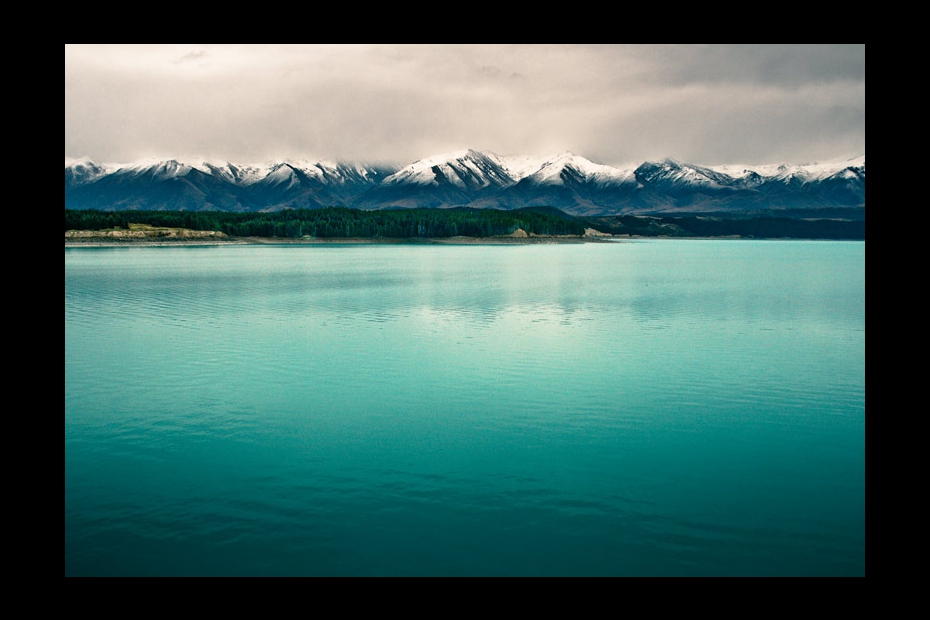 10. Lake Pukaki
Good views of the main Southern Alp peaks backdrop this Canterbury lake. The water’s particular tint of blue comes from glacier-ground particulates.
Photo: Stas Kulesh
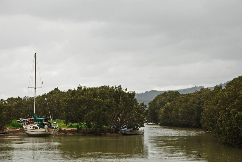 11. Mangrove forests
The coastal landscape of the country’s northern regions is where the most southerly mangroves in the world occur. Photo above was taken near Rawene, Northland.
Photo: PhillipC
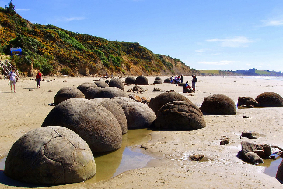 12. Moeraki Boulders
These strange geologic formations line the beach on Otago’s eastern coast, just south of Hampden.
Photo: El Groo
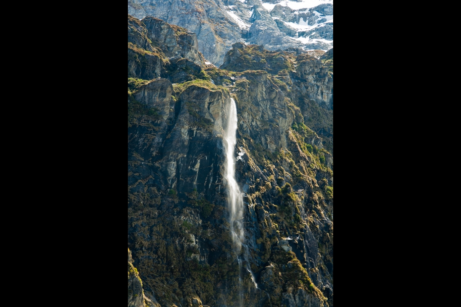 13. Mt. Aspiring National Park
Mt. Aspiring is the only 3,000+ peak to stand outside the Aoraki/Mount Cook area. Its tiny national park is just 20 miles as the crow flies from Milford Sound and about 10 from the northern reaches of Lake Wakatipu.
Photo: Jason Pratt
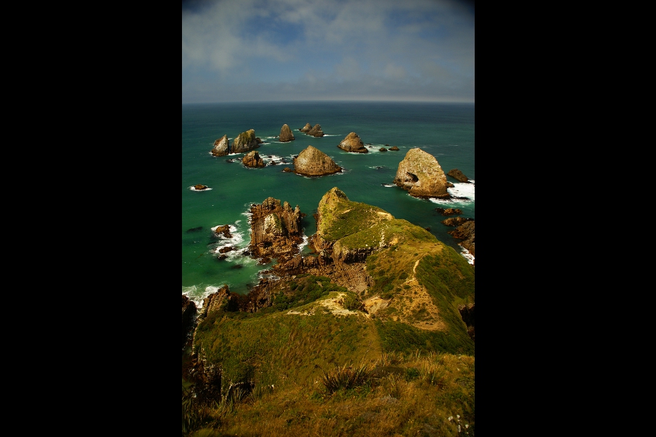 14. Nugget Point
A lighthouse of the same name gives a good view of these southern Otago islets and their wildlife. If you could see for 2,000 miles out to sea, you’d be looking at the coast of Antarctica.
Photo: Wostlan
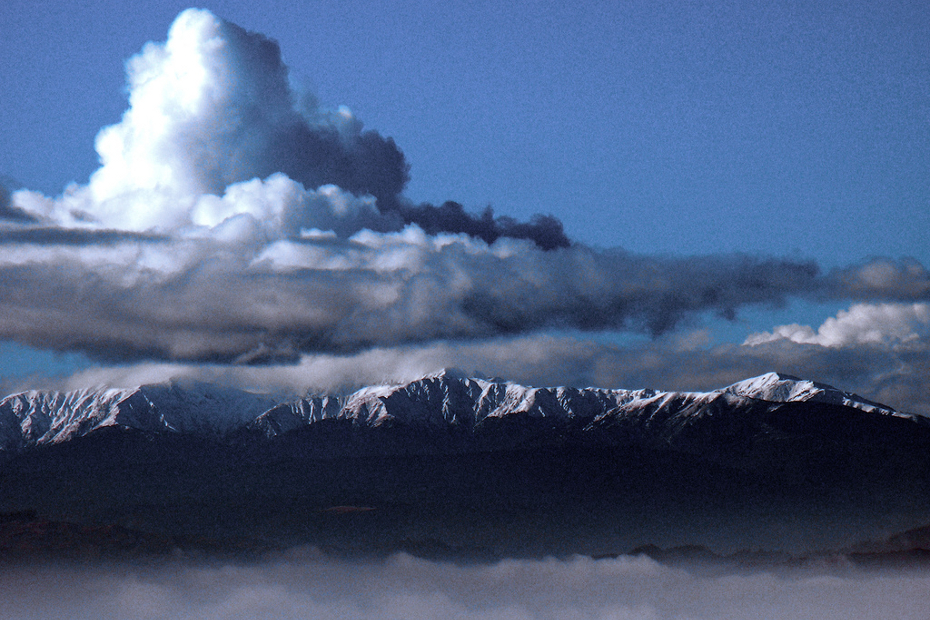 15. Tararua Range
These mountains rise at the southern tip of the North Island. The view above is from Mt. Victoria, in the city of Wellington.
Photo: PhillipC
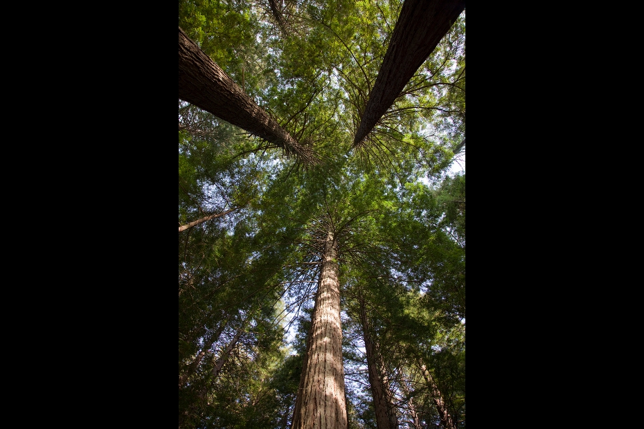 16. Whakarewarewa
The Whakarewarewa area is geologically active, home to a number of geysers and hot springs, as well as a grove of California coast redwoods, planted here in 1901.
Photo: Donna_Rutherford
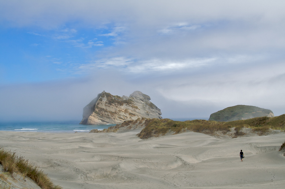 17. Tasman beaches
The shot above was taken near the start of Farewell Spit, a 26km sand spit sticking out of the northernmost point of the South Island.
Photo: Aaron Jacobs
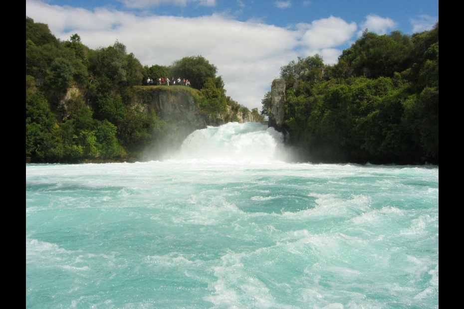 18. Huka Falls
Close to 220,000 liters of water flow through this falls every second, as the Waikato River suddenly narrows from 100 meters to just 15.
Photo: Robert Nyman
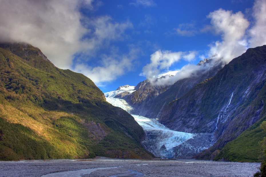 19. Franz Josef Glacier
Like the Fox Glacier (listed above and located 20km south), the Franz Josef falls from mountains to rainforest in just 12km.
Photo: anthonycramp
 20. Lake Tekapo
Tekapo is similar in many respects to Pukaki (listed above), including fronting a killer view of the Southern Alps.
Photo: joka2000
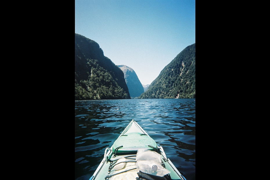 21. Doubtful Sound
Also located in Fiordland National Park, Doubtful Sound is larger yet less accessible than its famous cousin to the north.
Photo: stevecadman
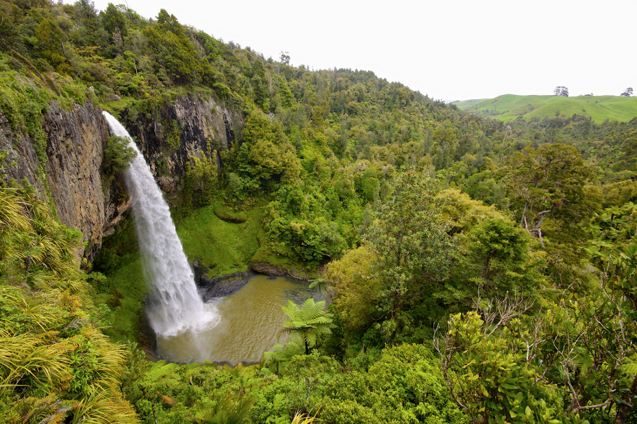 22. Bridal Veil Falls
In the Waikato region of the North Island, close to the town of Raglan, this plunge falls has a height of 55m.
Photo: Hot Meteor
MatadorU Travel Photography Program
MatadorU’s Travel Photography Program gives you direct feedback on your work, and lifetime access to the most supportive, dynamic, and fun community of Travel Writers, Travel Photographers, and New Media Professionals on the web.Community Connection
I know I missed a bunch of stuff. Let me know your favorites in the comments, so I can make sure to check them out when I go — hopefully sooner than later.BECAUSE NO ONE CAN LEARN EVERYTHING BY HIMSELF SO PLZ GIVE ME SOME INFORMATION ABOUT SOME LATEST AND MOST BEAUTIFUL PLACES IN THE WORLD...MODIFIED BY IMRUL
No comments:
Post a Comment